WHAT TO DO IF A TSUNAMI WARNING IS ISSUED
Spending time on the coast comes with the unlikely but potential threat of a tsunami, which is a giant wave or series of waves that can occur when a large amount of water is displaced because of an earthquake or an underwater volcanic eruption. Tsunami Warning Centers issue several levels of alerts in the event of a possible tsunami.
- Level 1: Information Statement – There is no threat and no need to leave.
- Level 2: Watch – A distant tsunami is possible. In this case, it’s important to stay tuned and be ready to act should the alert level heighten.
- Level 3: Advisory – There are strong currents and waves that are a danger to people in or near water, so stay out of the water.
- Level 4: Warning – Dangerous coastal flooding and powerful currents are possible, so move to higher ground.
WHAT ARE TSUNAMI WARNING SIGNS?
The entire Oregon Coast, including Yachats, is about 100 miles from the Cascadia Subduction Zone, a 600-mile fault that runs from Northern California to British Columbia. Wherever there is a fault, an earthquake is possible. Tsunamis, however, can originate from as far away as Japan or Hawaii, should earthquakes or volcanic eruptions occur.
An earthquake isn’t the only natural warning sign of a potential tsunami. Other natural warning signs include a sudden rise or fall in the ocean’s water level or a loud roar from the ocean. Any one of these could signal a tsunami is in progress. If you recognize any of these signs, don’t wait, experts say. Get to higher ground; a tsunami could arrive within minutes.
WHAT ARE THE BLUE SIGNS ON ROADWAYS?
Visitors to the Oregon Coast will notice blue signs along all coastal roadways, including around Yachats, designating these tsunami hazard zones, as well as tsunami evacuation routes and official assembly areas in the event that a tsunami warning is issued.
WHERE TO EVACUATE
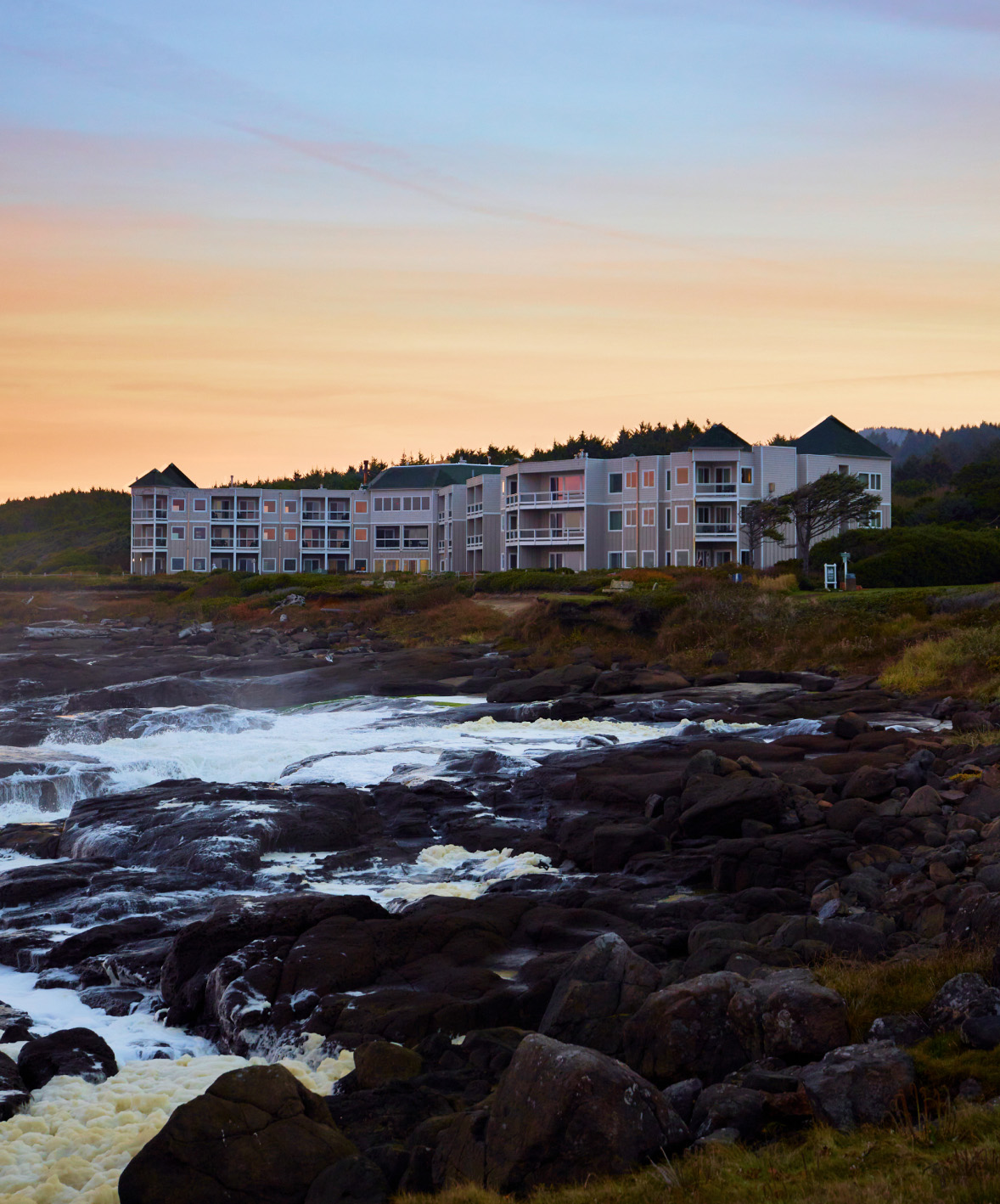
If you feel an earthquake while you are at Overleaf Lodge & Spa or if a tsunami warning is issued, don’t wait to reach higher ground. One official assembly area near Overleaf Lodge is just across Highway 101 at the east end of Diversity Drive, which serves the Fisterra Gardens Apartments.
Our Evacuation Route Map details how to reach the official assembly area that’s across Highway 101 from Overleaf Lodge.
GET UP-TO-DATE ALERTS ON YOUR PHONE
To further prepare for a potential tsunami, consider downloading NANOOS, a tsunami evacuation app, prior to your stay at Overleaf Lodge & Spa. NANOOS provides an overall view of where the tsunami hazard zones are on the Oregon Coast to help you plan your evacuation route in the event of a tsunami.
Additionally, NANOOS provides current tsunami alerts from state agencies to ensure you are updated on the latest tsunami information. Along with a tsunami evacuation app, downloading an earthquake evacuation app, such as QuakeFeed, ensures you are well-informed during your stay. QuakeFeed provides detailed information, maps and alerts for earthquakes, and other natural disasters, based on your location.
For more information about tsunami preparedness and to learn more about ocean safety on the Oregon Coast, visit the Oregon Department of Emergency Management.
OCEANS & BEACHES